No products in the cart.

Agriculture
Why use GPS on agricultural machines?
14
Jul
Jul
GPS is considered one of the main tools to achieve good results and increase agricultural productivity. It enables the producer to carry out agrarian monitoring and obtain detailed information to make correct decisions and to manage his production better.
Understand how GPS works
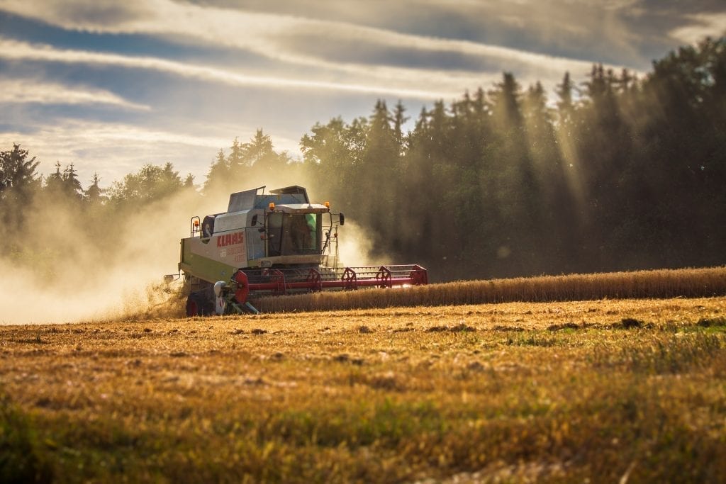
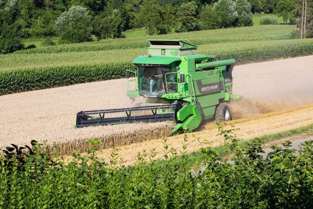
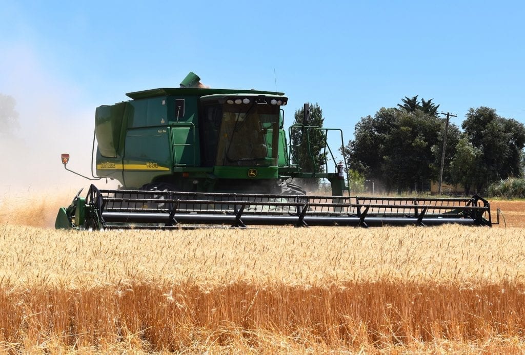
The Global Positioning System (GPS) has the function of showing the location of a person or equipment anywhere in the world. The autopilot systems work through an antenna installed on the roof of the machines. This antenna receives satellite signals from the GPS, allowing the machine to automatically guide itself through the field, according to the path defined in the guidance system.
With this technology, it is possible to integrate the automated operations under the same database, allowing the control of the best route to be done remotely.
GPS helps the producer in the production mapping and planting planning, in soil sampling, in the direction of the tractor, in the inspection of the harvest, in the application of pesticides, among many other uses.
Find out how GPS is used in agriculture
With the use of GPS in agricultural machinery, the producer can use the tractor’s autopilot systems to determine where each planting line will be and where each seed will be positioned, thus obtaining much greater precision.
With GPS-guided navigation, machines can follow automatic routes and pass only once in each place, thus reducing fuel consumption and failures in seeding, harvesting, and application of products. In addition, work gets done much faster.
GPS also allows operators to work during low visibility conditions, even in rain, dust, fog, and darkness. In addition, automatic pilot systems on tractors make it possible to carry out bedside maneuvers automatically, helping to reduce operator fatigue.
See how GPS is used in precision farming
The use of GPS in conjunction with Geographic Information Systems (GIS) made it possible to implement the precision agriculture system. With this equipment, it is now possible to correlate production techniques with land variations.
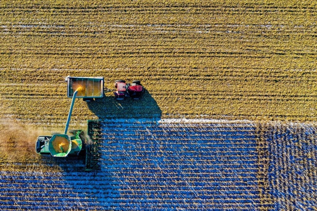
These technologies enable the collection of data in real-time with precise position information, which will be used in the analysis of large amounts of data, favoring more efficient management.
Understand how GPS is used in tracking
GPS location features allow tracking of machines or employees on farms. In this way, it is possible to manage and monitor large areas with a minimum number of workers.
Using this equipment, it is possible to monitor all employees and verify that they are performing their tasks correctly. GPS also allows you to track vehicles and equipment, preventing robberies or thefts in the field and decreasing the search time for machines on the plantation.
Understand how GPS increases efficiency in the field
The use of GPS in precision agriculture allows the elaboration of detailed crop maps, based on geo-referenced soil samples and other relevant information.
With the use of GPS, the manager can determine specific areas that require the application of fertilizers and pesticides, avoiding the need to make applications over the entire plantation.
Besides, GPS is used in equipment that has a self-control system, that is, GPS and computers guide them. As a result, there is a significant gain in performance, implying a reduction in the number of machines and staff downtime.
As we have seen, agricultural GPS makes it possible to optimize all services and stages of production, from the initial study of the soil to the time of harvest.